 |
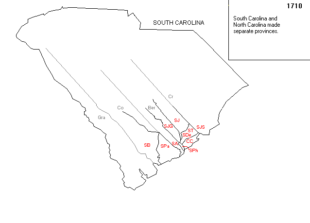
Note that Dillon County was in the County of Craven (Cr on map)
which extended from roughly north of Charleston to the North Carolina border.
|
MAP ONE:
South Carolina in 1710 when Carolina was officially divided.
|
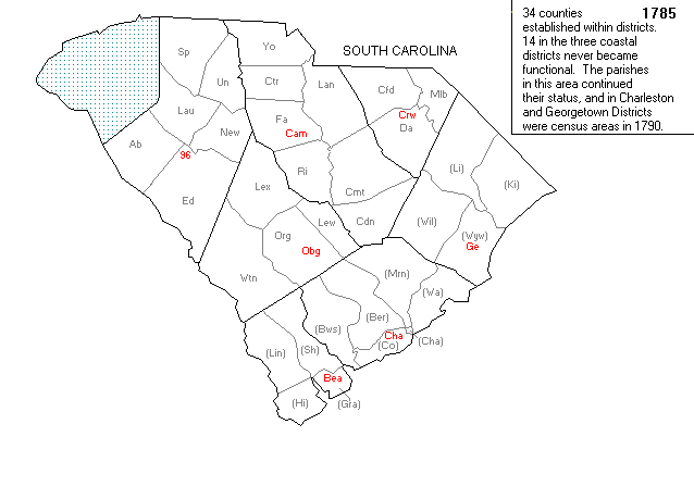
Note that Dillon County was in the County of Craven (Cr on map)
which extended from roughly north of Charleston to the North Carolina border.
MAP TWO:
South Carolina at the establishment of counties within districts in 1785.
 |
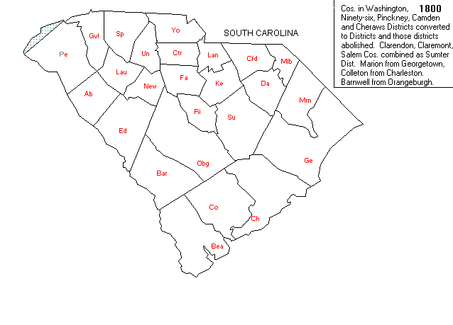
Note that Dillon is contained within the County of Liberty (Li), Georgetown District (Ge).
MAP THREE:
This map shows Marion County in 1800 after it was carved from Georgetown in 1798.
(Marion is Dillon's parent county)
 |
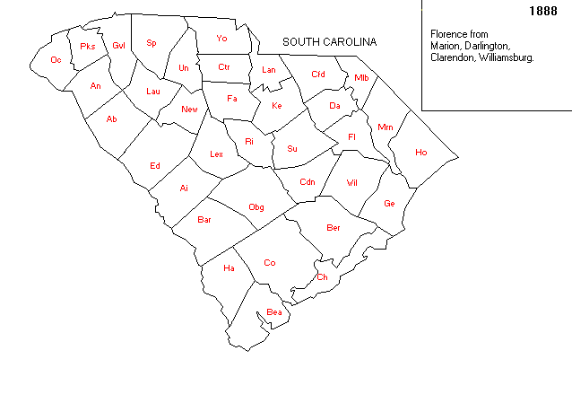
MAP FOUR:
This map shows Marion County in 1888 after part of the
western section was taken to form Florence County.
 |
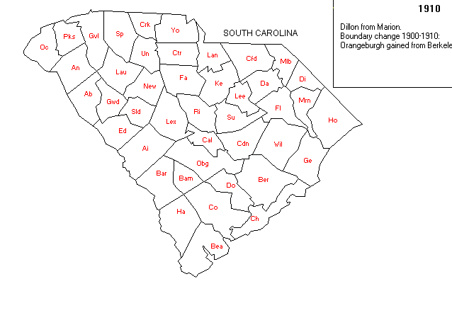
MAP FIVE:
This map shows Marion County in 1910 after it was split again and the
upper portion became Dillon County.
 |
These maps were supplied through the generosity of Gold Bug Historic Maps & Software.
Visit their website at http://www.goldbug.com for historic map reproductions, downloadable maps, product info & demos,
links to US and Canadian Geographic Servers and other interesting sites.Special thanks to Art Lassagne for his help!